A Dictionary,...
 +3
+3
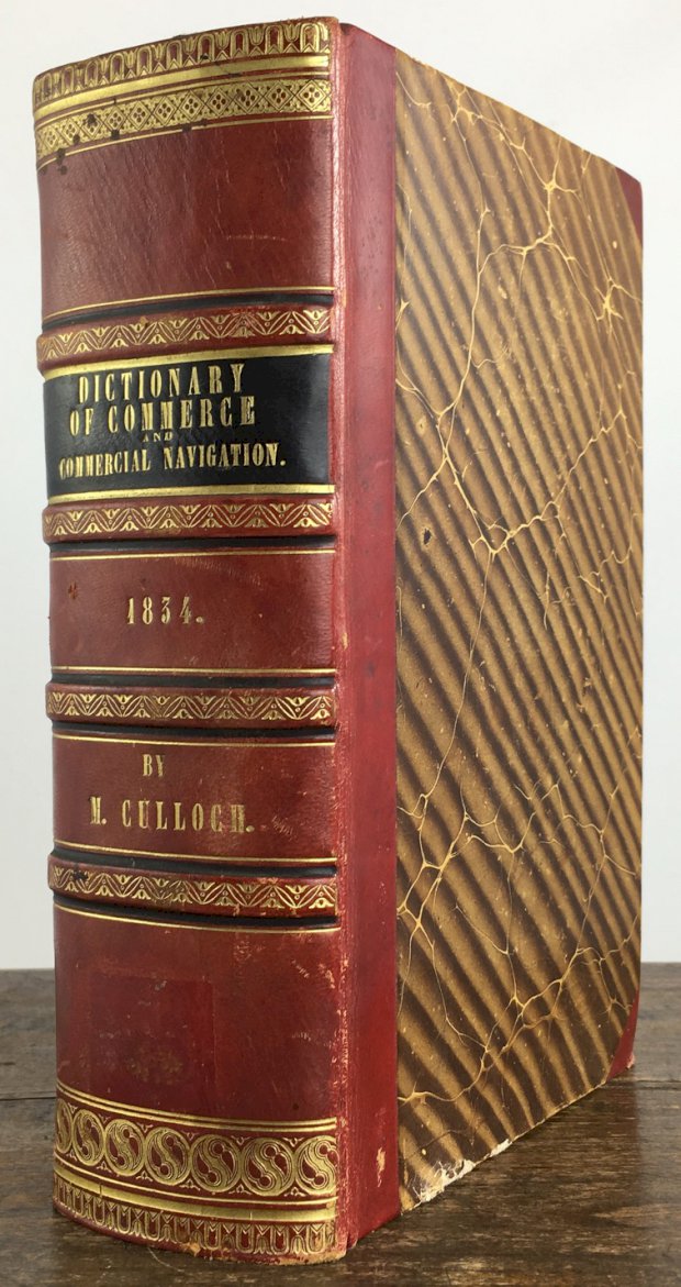
A Dictionary, Practical, Theoretical, and Historical of Commerce and Commercial Navigation : Illustrated with Maps and Plans. Second Edition, corrected throuought, and greatley enlarged. (Enth. folgende mehrfach gefalt. Ktn. : (1) Central & Southern Europe with the Mediterranian Sea; (2) Map exhibiting the completed and proposed Canals & Rail-Roads of Great Britain & Ireland with the Coal fields, Light houses &c.; (3) British Possessions in North America from the Report of the Emigration Committee of 1827, corrected to 1834; (4) River Thames, with the Docks from Blackwall to the Tower; (5) South West Part of Lancashire, with the Entrances to the Rivers Mersey & Dee; (6) The World on Mercator's Projection.)
Erscheinungsort: London, Verleger: Longman Erschienen: ,Erscheinungsort: Rees, Verleger: Orme Erschienen: ,Erscheinungsort: Brown, Verleger: Green Erschienen: ,Erscheinungsort: Verleger: and Longman Erschienen: 1834.
XV., 1269 Seiten mit Abbildungen + 6 mehrfach gefaltete, gestochene Karten. Roter Halblederband der Zeit mit reicher Rückenvergoldung u. Lederecken.
€ 250,-
Gut erhalten.
Bestellnummer: 36668
Mehr Auswahl im Antiquariat Henke
Suche im Gesamtkatalog
Kataloge im Antiquariat
- Dekorative Graphik
- Fotografie
- Geschichte, Politik, Geographie, Archäologie
- Kinderbücher
- Kulturgeschichte
- Kulturwissenschaften
- Kunst, Kunstgeschichte, Architektur
- Literatur, Literaturgeschichte, Sekundärliteratur
- Musik
- Naturwissenschaften, Medizin, Technik
- Philosophie, Weltanschauung
- Theater, Film
- Varia
- Gesamtkatalog
Allgemeines und Kontakt
© 2024 Antiquariat & Buchhandlung Heiner Henke, Passau - Datenbestand vom Samstag, dem 15. Juni 2024 - Sitemap - Impressum - Datenschutz - Glossar